Cotton Defoliation: From Random Sampling – to a Full Spatial Picture of the Field
Ahead of cotton harvest, defoliation timing matters too. Veleres maps boll-opening percentages across the whole field – not just at a few points – helping growers choose the optimal defoliation timing.
Estimated reading time: 2 minutes
Why Timing Is Critical
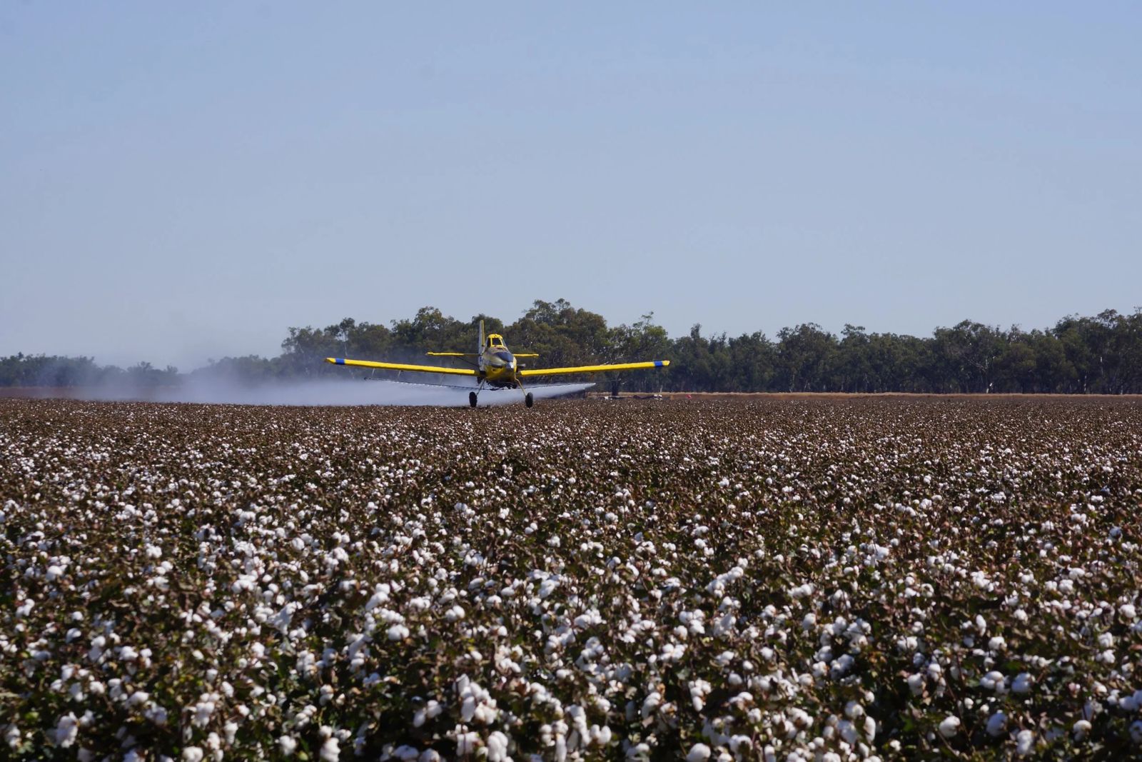
Ahead of cotton harvest, growers carry out defoliation – a treatment designed to remove the foliage, promote crop preparation and get the field ready for a more efficient, cleaner harvest.
The success of the process depends heavily on choosing the right timing. Defoliating too early can harm the completion of ripening, while defoliating too late can delay the harvest and increase exposure to weather damage.
The Challenge: Uneven Ripening, Unrepresentative Sampling
Cotton ripening does not always progress uniformly. Within the same field there may be areas that ripen earlier, areas that lag behind, or anomalous zones.
The sampling practices used for years are usually carried out at a number of points, often around the edges of the field, since the density of the cotton makes it difficult to routinely access the interior of the plot. As a result, the sampling points do not necessarily represent the condition of the field as a whole.
The Solution: Veleres
This is where Veleres comes in.
By mapping variability across the field and assessing boll-opening percentages, it is possible to identify areas where the estimated opening rate has reached 70% or higher, alongside areas where the opening rate is lower and require additional time.
Combining the data from all areas of the field provides a broader picture of ripening progress and supports an informed decision on the optimal defoliation timing.
What Is the Value for the Grower?
- Optimising defoliation timing – assessing ripening progress across the entire field area, not just at individual sampling points.
- Focusing field verification – flagging areas that are ahead, behind or anomalous. The Veleres app allows navigating directly to them, checking the condition of the bolls and the plant, and validating the assessment on the ground.
- Planning the order of defoliation and harvest – ranking fields by their degree of progress, so as to start with the more advanced fields and better plan the operation of the spray plane, harvesting and manpower.
- Assessing treatment effectiveness – comparing the condition of the field before and after defoliation, in order to examine the uniformity of the response and identify areas where relatively significant foliage remains after the first treatment.
- Assessing the need for further treatment – the data helps determine whether there is professional and economic justification for additional defoliation, and whether treatment can be focused on specific areas instead of covering the entire field.
- Reducing the risk of a delayed harvest – the spatial picture helps balance waiting for lagging areas to ripen against exposure to weather risks and field conditions.
Everything in One App
All maps, boll-opening estimates and numerical data are displayed in the Veleres app.
The information does not replace professional field inspection. It focuses that inspection on representative areas and enables decisions to be made based on a broader picture of the field.